Current Temp. 52°
Discover
Railroads have played a key role in the history of Colorado, and this is especially true in Fourteener Country.
The influence of the railroad expansionists has dwindled over the years, but their mark in the history of the area is evident throughout the valley. Learn of it's rich history as you tour Fourteener country.
Highway 285 from Denver
The Denver, South Park & Pacific Railroad left Denver’s Union Station and traveled south and east through Littleton. It followed the South Platte River up Waterton Canyon, past Buffalo and on to Bailey. Sections of the route are now beneath the series of dams along the S. Platte. From Bailey to Como, Highway 285 overlays much of the roadbed.
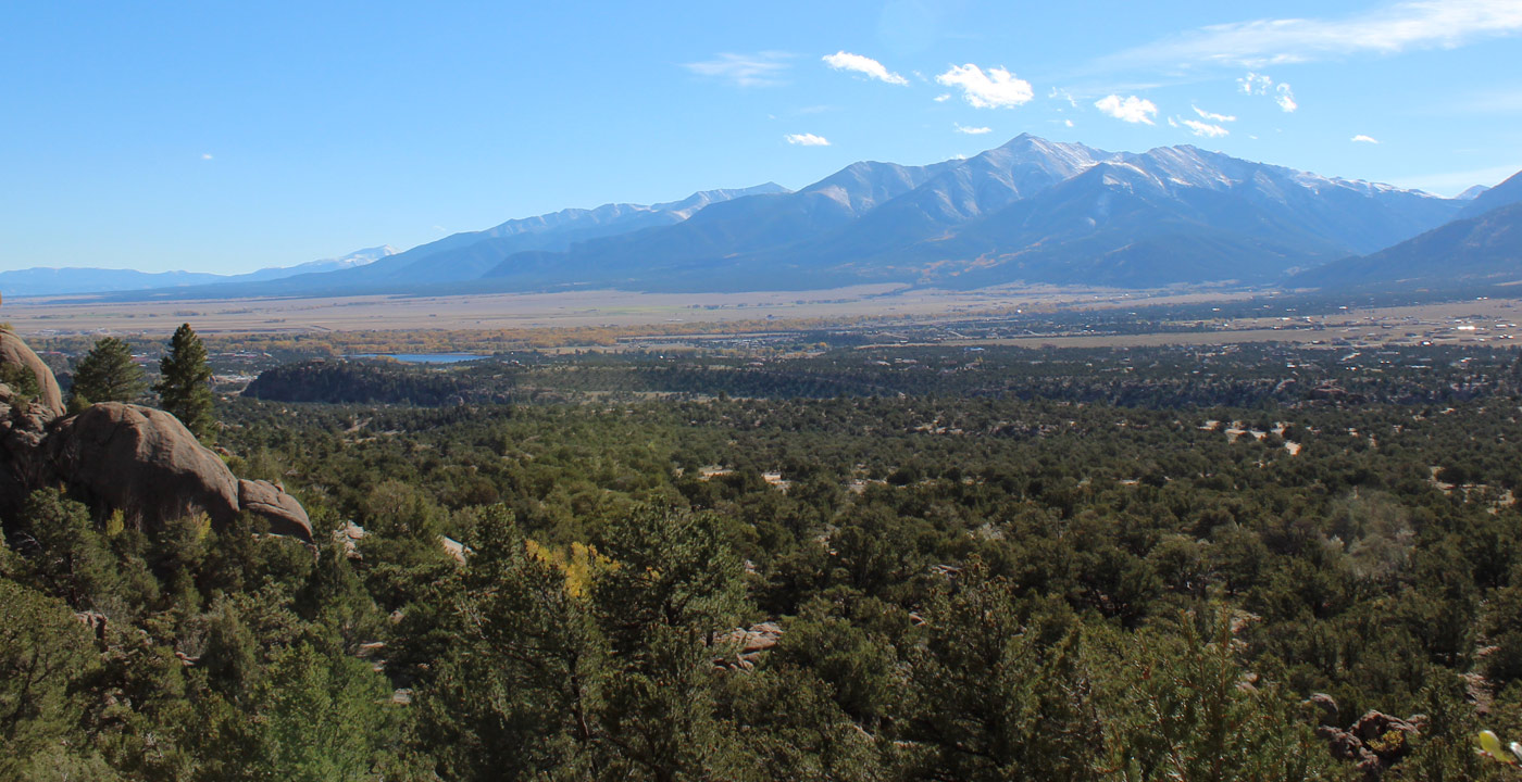
Kenosha Pass
The South Park club and National Forest Service rebuilt a bit of track at the Kenosha Pass summit to show the wye (Y) used to turn around helper engines.
Thingstodo-Tours-Sightseeing-Trains-KenoshaRRDisplay
Jefferson Depot
The Jefferson Depot is now an office building right beside US 285
Thingstodo-Tours-Sightseeing-Trains-JeffersonDepot
Como
Como became the division point for the south-bound trains headed for Buena Vista, St. Elmo and Gunnison. Trains headed to Breckenridge and Leadville turned west in Como and climbed over Boreas Pass. The Depot, Eatery, and Round House still stand.
Discover-OurTowns-History-Como
Boreas Pass
Fremont Pass
US 24 from Colorado Springs to Trout Creek Pass
The Colorado Midland Railway was the first standard gauge train to tackle the central Rocky Mountains. It left Colorado Springs, passed through Woodland Park and reached Divide. One track turned south to Cripple Creek and Victor while the main line continued west to Ute Pass, South Park, Buena Vista, Leadville, and Aspen. It started construction in 1886 and went bankrupt in 1922.
The Roundhouse is right beside Highway 24 in Colorado Springs at the intersection of US 24 (W. Cimarron Street) and S. 21st Street. It was used by the Van Briggle Pottery for decades. It was recently converted to office space with huge glass windows covering the locomotive bay doors. The maintenance building is part of the Ghost Town Museum.
Highway 24 follows the Midland road bed west. The grocery store in Divide has large historic photographs of the Colorado Midland. It’s by the stoplight intersection of US 24 and 67, the road to Cripple Creek.
Further west, Hartsel has a privately owned Midland Depot. One of the large ranches by Hartsel raises Buffalo. The huge brown creatures are often visible from the road. Highway 24 runs parallel to the Midland road bed across the southern end of South Park.
Trout Creek Pass
A large embankment runs along the top of Trout Creek Pass. 285 follows the South Park Line’s north-south route. The Midland, coming along six years later, built a giant ramp and trestle to move their trains over the top of the South Park trains. The trestle is long gone, but the still towers over the road to the west.
Both the Midland and the South Park Line run beside 285/24 in Trout Creek Canyon. Usually, the Midland is uphill, and the South Park is lower down. Bridge abutments show the many crossing of Trout Creek and the gullies. A couple different dirt roads run on sections of the South Park bed. The Midland bed is a bicycle / hiking trail.

Get Deals, Discounts, Information and more, in your inbox!
 Printable Version