Current Temp. 52°
Discover
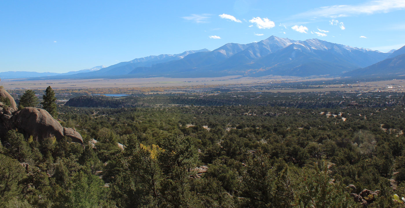
Baldwin Gulch Road travels upward at the base of Mount Antero and offers a number of 4WD options. Baldwin Gulch is a wonderland of large mountain peaks, pristine high elevation lakes and so much scenery.
Directions:
From the town of Nathrop on Highway 285 in Chaffee County, travel west toward the mountains on County Road 162. Pass the Chalk Cliffs and the Mt. Princeton Hot Springs. From Nathrop, Baldwin Gulch Road (labeled Road 277) is on the left at approximately eight miles. At the beginning of Baldwin Gulch Road, at approximately one mile, is Boulder Mountain Road on the right. This is a 4WD route that climbs up the side of Boulder Mountain (13,524’) to an old mining site at the end of the road. If you stay on 277 and continue for a total of 2.7 miles, you’ll reach a major fork. At this junction, a turn left makes its way up Upper Browns Road (278) which continues far up above timberline. This leads to another spur trail (278B) which climbs its way to 13,500’ and in proximity of the summit of Mount Antero. A right turn at this main junction is another 4WD route (Road 277.2) that travels upward into another gulch that ends at Baldwin Lake (12,342’). This is a high elevation lake surrounding by an amphitheater of peaks and ridges over 13,000 feet.
As always, it is recommended that you be fully prepared. Carry plenty of food and water. Have a quality map with you. Do not drive on 4WD roads that are beyond your abilities or your vehicle.


Get Deals, Discounts, Information and more, in your inbox!
 Printable Version