Current Temp. 52°
Discover
Distance: 12 miles
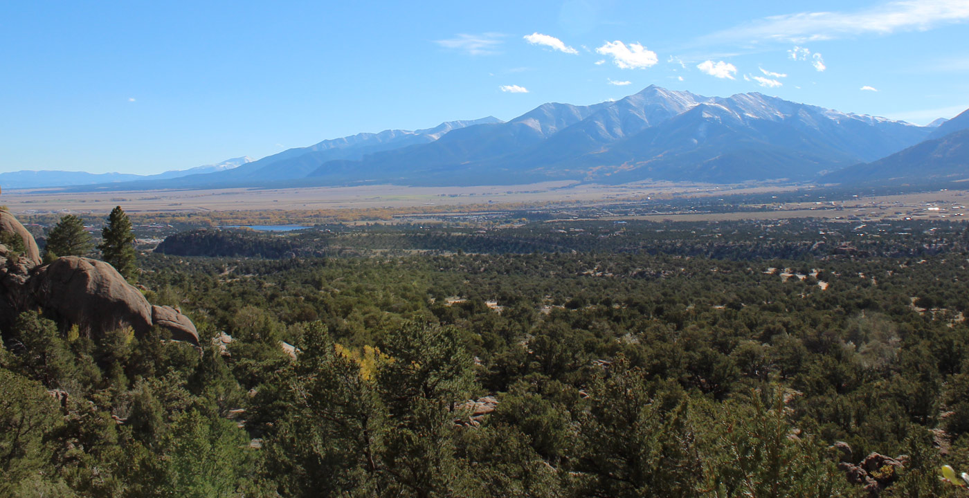
The Mineral Belt Trail is a 12-mile trail all-season biking/walking trail that loops around the city of Leadville. It travels through aspen groves, forest and offers grand views of Leadville, Mt. Massive and the surrounding mountains. Dedicated in 2000, it travels through parts of the Leadville historic mining district, including California Gulch, the site of a former bustling mining area. Many signs on the trail provide information about Leadville’s settlement era, its mining history and other interesting facts.
This trail is closed to motorized vehicles and is an excellent choice for hiking, jogging, walking and bicycling (road or mountain). In the winter, snow is groomed to serve as a recreation area for cross-country skiing and snowshoeing. It has an average of a 3% grade and throughout is a 12-foot-wide paved path with an adjacent 3-foot resting and “recovery zone”.
Directions: The trail can be accessed in many spots in town, but the most popular is on the southwest side of Leadville on Highway 24. A parking area exists 0.1 miles west of Highway 24 and College Road (across from the Super 8 Motel). The trail has mile markers and starts at zero at this point. Continue counter-clockwise uphill and finish with a well-earned descent on the other end.


Get Deals, Discounts, Information and more, in your inbox!
 Printable Version