Current Temp. 52°
Discover
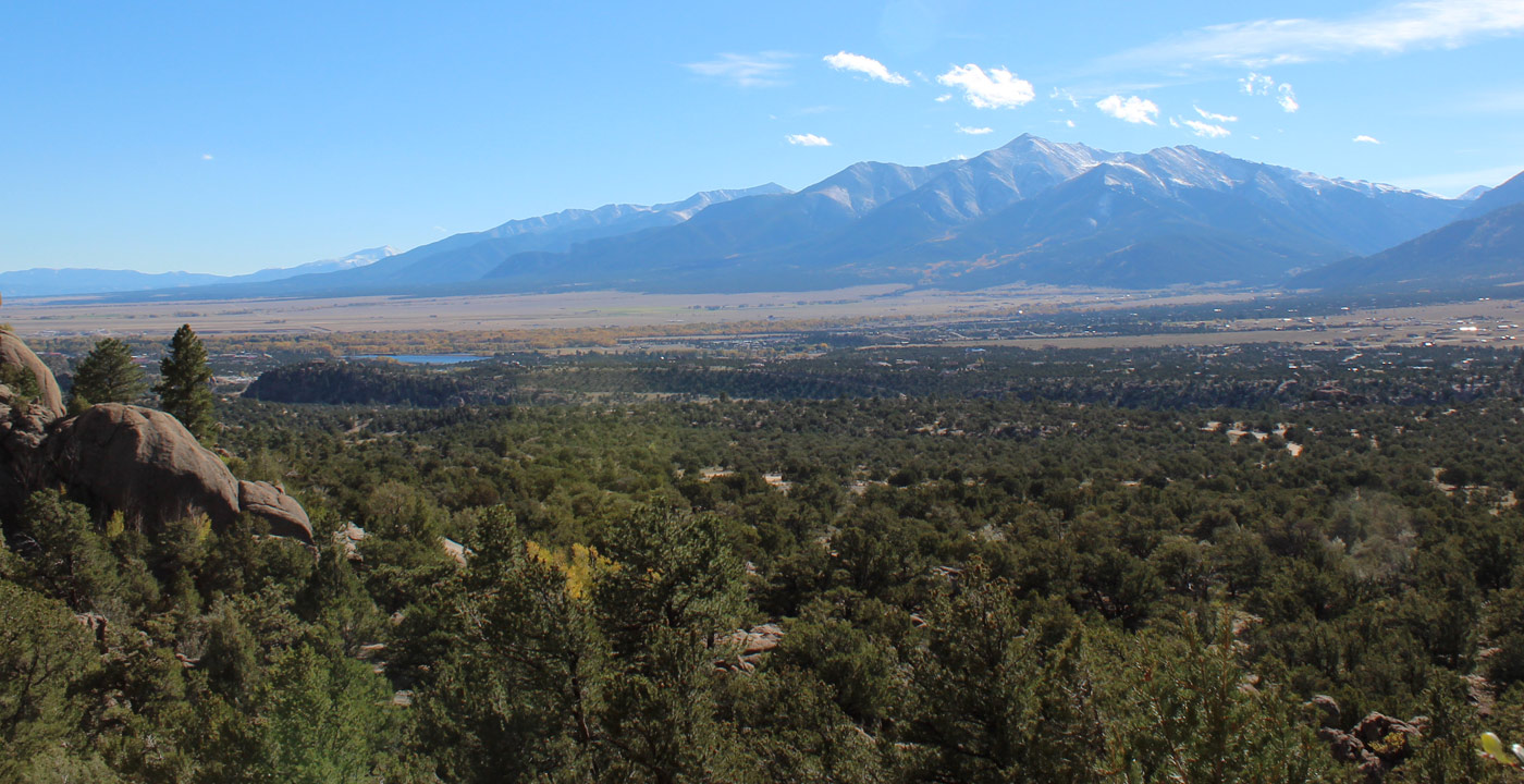
 Want to know how to get here? Old fashioned directions are given coming towards the Arkansas River Valley to the primary towns of Salida, Buena Vista and Leadville. (Or use Google Maps to the right.) We can’t wait to host you in Fourteener Country!
Travel west on U.S. Highway 24 toward Manitou Springs and continue for 90 miles to Johnson Village in Chaffee County. At the “T” intersection (where Highways 24 & 285 split), turn right and proceed to Buena Vista for two miles or Leadville for 37 miles, or turn left and proceed to Salida for 23 miles.
To Leadville: From Denver, travel west on Interstate 70 to the Copper Mountain exit (approximately 77 miles). Then travel south on Highway 91 for 24.2 miles to Leadville.
Travel south on Highway 91 for 24.2 miles to Leadville.
Travel west on Interstate 70 for approximately five miles. Turn south toward Minturn at the U.S. Highway 24 exit. From Minturn, continue on U.S. 24 for 30 miles to Leadville.
At Keystone, travel west on U.S. Highway 6 to Interstate 70 in Silverthorne. At Silverthorne, continue on I-70 for 10.7 miles to the Copper Mountain exit. Turn south on Highway 91 toward Fremont Pass and Leadville for 24.2 miles.
Travel north toward Frisco and travel west on Interstate 70. At approximately seven miles, turn south at the Copper Mountain exit and proceed 24.2 miles south on Highway 91 to Leadville.
OR Click for Google

Get Deals, Discounts, Information and more, in your inbox!
 Printable Version