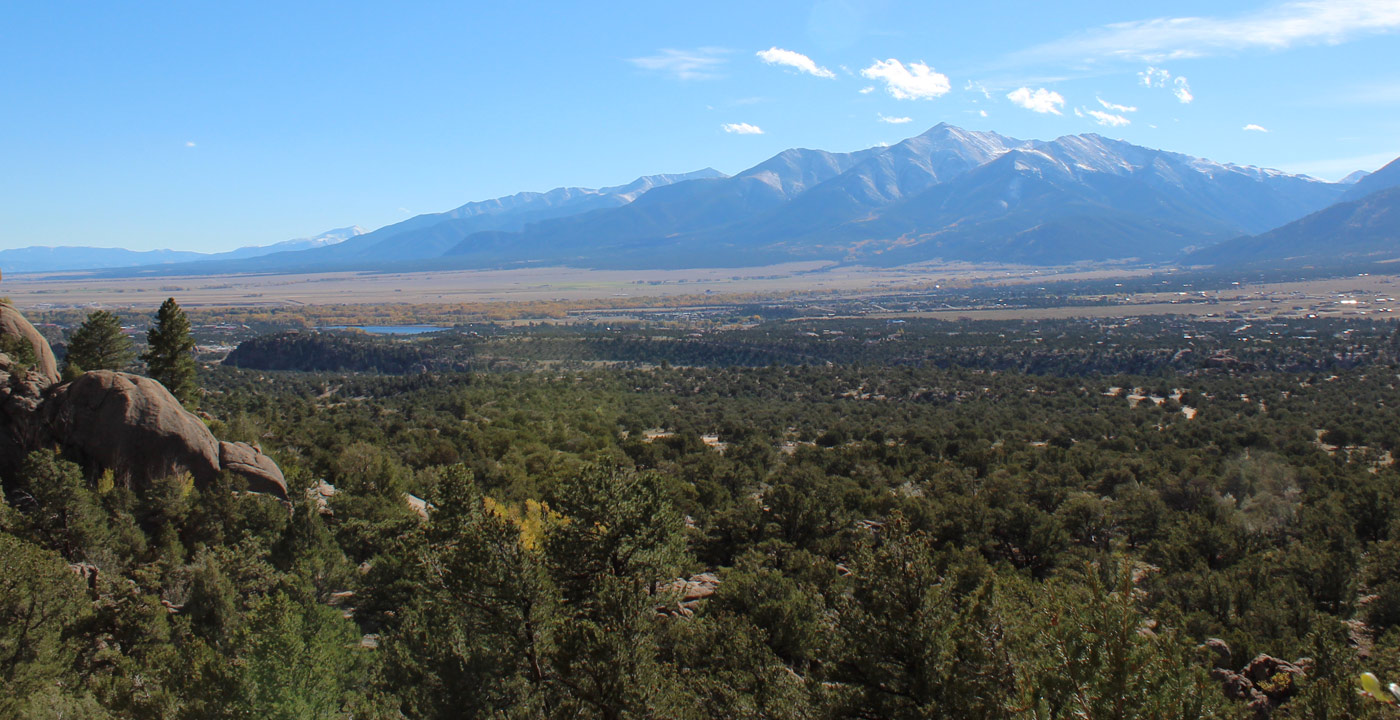
Fourteener country offers an abundance of ATV, Jeeping, biking and hiking trails. With so many trails and "Fourteeners" to be climbed, scaled, rock climbed, bouldered or just plain hiked, you'll be hard pressed to decide on just one. Come explore and play.... You'll find it hard to leave.
The 1,845-foot Alpine Tunnel cuts under Altman Pass and served the Denver, South Park and Pacific Railroad from Denver to St. Elmo and Gunnison. Completed in 1881 after 18 months of construction, it w... Details
Baldwin Gulch Road travels upward at the base of Mount Antero and offers a number of 4WD options. Baldwin Gulch is a wonderland of large mountain peaks, pristine high elevation lakes and s... Details
The Barbara Whipple Trail is a popular trail in Buena Vista was named after Barbara Whipple (1920-1989), a local artist who owned an art gallery on Main Street in Buena Vista.
It is considere... Details
The Black Cloud Trail is a lesser known trail in Lake County that offers a spectacular mountain experience while getting away from the crowds.
For the most ambitious hikers, this trail is an alter... Details
Browns Creek Falls. If you love waterfalls, Browns Creek Falls are a “must visit” place. Browns Creek flows in a canyon between Mt. White (13,667’) and Jones Peak (13,571&rsquo... Details
Looking for a bike route that provides plenty of mountain scenery, a great workout, but requires less time and is easier on your body compared to the more intense mountain passes? Try a locals’ ... Details
The Chinaman Gulch Loop Trail is considered one of the more difficult 4WD trails in the area. A loop trail, it spans 2.5 miles in rugged and rocky hills southeast of Buena Vista. Although the scenery ... Details
Getting to Columbia City is half the fun. Be advised that the four wheel drive portion of the road is not maintained during the winter, but you can easily travel the first four miles via standard pass... Details
Among the many challenging and rewarding mountain passes to ride in Colorado, Cottonwood Pass has to rank as one of the biggest prizes. Starting at the traffic light in Buena Vista (7,920’), Cha... Details
The Denny Creek Trailhead is located 12 miles west of Buena Vista, with a paved parking lot on the right. This is a beautiful mountain paradise no matter what the season – wildflowers in the sum... Details
The Fourmile Travel Management Area is one of the most popular recreation areas for motorized and non-motorized travel in the Arkansas Valley. Located to the northwest of Buena Vista “Four... Details
Hagerman Pass is a popular 4-wheel-drive destination on the Continental Divide between Leadville and Basalt. It is known for its variety of scenery, including mountain views, summer wildflowers, wildl... Details
Although there isn't much left of Hamilton, you can enjoy a beautiful one-and-a-half-mile hike to it. Begin by taking the four wheel drive road one-half mile past the Banker Mine, stopping at a US... Details
Independence Pass is the type of mountain pass that most cyclists dream of taking on. Starting in the quaint village of Twin Lakes, the road gently ascends into a canyon surrounded by large peaks and ... Details
Though there aren't many ruins left at the Latchaw Mine, the trip there is worth it for the exquisite views, both at the end and on the way. You'll even be able to say that you've seen the... Details
Destination: Little Annie Mine
General Location: West and northwest of Buena Vista
How To Get There: Head east on Main St. in Buena Vista, turn left on Colorado Ave (County Road 371). Follow... Details
The Mary Murphy Mine is one of the more intriguing historical sites in this region, particularly since it has not had the benefit of restoration efforts. Several buildings are standing in various stag... Details
The Midland Trail might be one of the best kept secrets in Buena Vista. The rocky ridge with pinions directly east of Buena Vista is named Midland Hill, and the Midland Trail leads to its summit.Altho... Details
The Mineral Belt Trail is a 12-mile trail all-season biking/walking trail that loops around the city of Leadville. It travels through aspen groves, forest and offers grand views of Leadville, Mt. Mass... Details
The Poplar Gulch Trail is a well-marked trail that ascends well into the mountains that is lesser known in Chaffee County. The views at the high point of the trail (12,400 feet) are majestic, with gra... Details
Ptarmigan Lake is a high elevation lake in the Sawatch Range at the base of Jones Mountain (13,232’) that was named such because of the flocks of ptarmigans often seen in the area. This larger t... Details
Poncha Pass is an excellent road biking route that provides mountain scenery, a strong workout, and perhaps most importantly, a decent-sized shoulder throughout the highway. Starting in Poncha Springs... Details
Originally named Tenderfoot Mountain, some locals refer to it as “S Mountain”, because of the large white “S” that can be seen throughout much of Salida. During the holiday sea... Details
The Colorado Trail is an established, marked, and mostly non-motorized trail that transverses Colorado’s high country. The trail system offers hiking, biking, & cross country ski opportuniti... Details
In the historic days, the route to Tincup Pass was a wagon road between Tincup and St. Elmo. But today Tincup Pass is one of the most popular 4-wheel-drive destinations in the region.
... Details
Weston Pass is 11 miles south of Fairplay and 7 miles south of Leadville. The dirt road is 27 miles long. The east (Fairplay) side is graded and suitable for passenger cars, once the snow ... Details