Current Temp. 52°
Discover
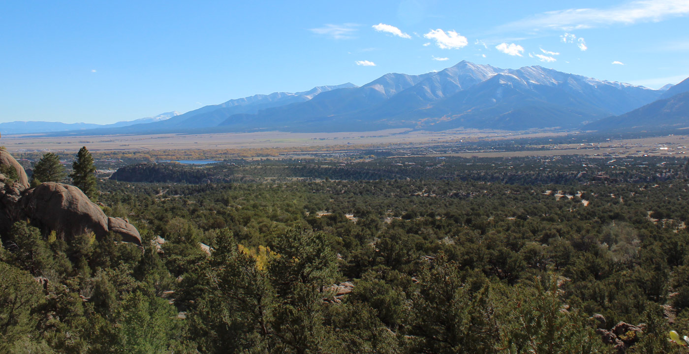
Mt. Antero (14,276’), the eleventh highest peak in Colorado, was named for Chief Antero of the Uintah band of Utes. This mountain is located directly west of Nathrop and is visible from both Buena Vista and Salida.
Mt. Antero is commonly accessed by hikers and others via Baldwin Gulch Road, a 4x4 dirt road. It is popular for ATV driving, snowmobiling, camping and hunting. Known for having the highest concentration of aquamarine anywhere in the country, Mt. Antero and the surrounding area have several active private mining claims in use.
For those interested in hiking to the top of Mt. Antero, the most common route is Baldwin Gulch Road. The unique aspect of this fourteener is one can drive (in a 4-wheel-drive, high clearance vehicle) all the way to 13,500 feet in elevation, where the trail is a mere 0.5 mile hike. Some hikers abide by the “3,000 foot rule” and park far below and hike up the road. Where the road crosses Baldwin Creek, at approximately 10,850’, is a popular spot for many to begin their hike.
Directions: From Buena Vista, travel south six miles to Nathrop and make a right (west) onto County Road 162. Drive 12.4 miles in Chalk Creek Canyon and the sign and turn for Baldwin Gulch is on your left.


Get Deals, Discounts, Information and more, in your inbox!
 Printable Version