Current Temp. 52°
Discover
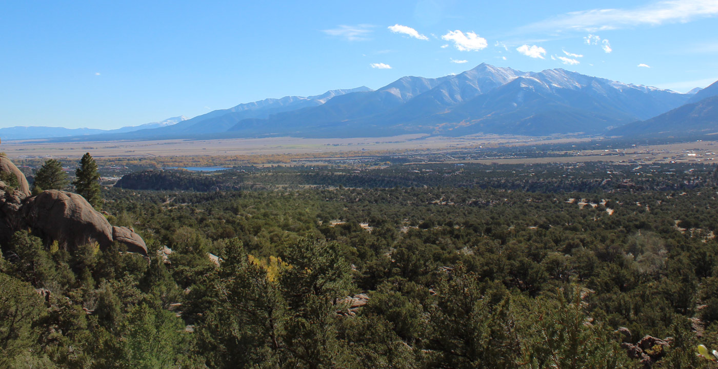
Fishing information is provided below for Buena Vista, the Arkansas River, and the high lakes region in the Collegiate Peaks to the west. Altitudes are included in the guide below for use in planning high lake or stream trips. Remember that camp sites above timberline (about 11,500 feet) are not likely to have firewood. The high lakes are usually not ice free until the second or third week in June and are good fishing because fewer people go there, but even town lake has given up some trophy size trout.
Fishing licenses are required for anyone 15 years or older and checks by Wildlife Conservation officers are frequent. Those 14 years old or under may fish free, but may catch only half of the adult limit. Check regulations as some areas are restricted to flies and lures only and have specific limits on keeping fish.
If you are unable to hike to one of the high mountain lakes, you may go by horseback. Guided fishing tours are also available.
CHALK CREEK AREA
Brown's Creek (alt. 10,000 to 11,500') is located south of Chalk Creek and descends east between Mt. White and Mt. Shavano. Brown's Creek is good for native cutthroat trout. At the headwaters is a large pond and beaver dams, ideal for good fly fishing. The upper basin is quite scenic with a wonderful waterfall. The trail is approximately 5 miles long.
Chalk Creek (8,300 10,000') is home to 6-12" rainbows and brown trout starting above Mt. Princeton Hot Springs. Cascades area has some larger fish and Chalk Lake just before the cascades gets stocked regularly.
Grizzly Lake (11,200') requires 3 miles of trail or 4 wheel drive from St. Elmo turn-off. 6-14" brook trout. Good fly fishing. Very scenic.
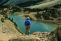
Pomeroy Lakes (12,000') is 3 miles south of the ghost town of Romley by trail. Good for 6-24" native cutthroats. Good fly fishing.
Hancock Lake (11,600') is 2 1/2 miles past Hancock by trail. 6-14" natives and brooks.
Mirror Lake (11,000') is a very good destination for a full-day family sightseeing, fishing, and picnic trip. The lake is scenic, accessible for the kids to fish, has a campground and 10-12" rainbows and browns. It can be reached by 4-wheel drive road over Tincup Pass (about 30 miles from Buena Vista) or by car over Cottonwood Pass and south from Taylor Park Reservoir (about 45 miles from Buena Vista).
SOUTH COTTONWOOD CREEK
Cottonwood Creek (8,500-9,600') beyond Cottonwood Hot Springs resort is fair to good for 8-14" rainbows and browns. Above Cottonwood Lake it is good for 10" rainbows.
Cottonwood Lake (9,600') is a popular and scenic area with a campground (look for mountain goats on righthand cliffs on the way up). About 10 miles west of Buena Vista off CR 306, it is easily accessible by car. Motorized boats not allowed. 6"-2lb. rainbows.
Ptarmigan Lake (12,100') is a beautiful high country lake 6 miles west of Cottonwood Lake on rough road with the last 3 miles being 4-wheel drive only. You can also hike 4 miles by trail south from main Cottonwood Pass road (trailhead is 15 miles west of Buena Vista on CR 306; hike 2.5 miles past some small lakes to timberline). 6-24" natives. Good fly fishing.
Mineral Basin (11,300-12,000') is 6 miles above Cottonwood Lake on rough road with last 3 miles being 4-wheel drive only. Small stream and many beaver ponds with small brook trout.
MIDDLE COTTONWOOD CREEK
Cottonwood Creek (8,500-12,000') above Rainbow Lake (private) to top of Cottonwood Pass. 6-14" brooks and browns.
Denny Creek and Hartenstein Lake (11,400') has the trailhead on Cottonwood Pass road 2 miles above Rainbow Lake, then 3 mile hike to lake. 8-14" natives.
Lost Lake (11,900) is 2 miles below the top of Cottonwood Pass and 1 1/2 miles west by 4-wheel drive or trail. 6-16" natives.
Cow Lake (11,500') is a 1 mile hike from the top of Cottonwood Pass west across the Continental Divide, very steep. 8-18" natives.
NORTH COTTONWOOD CREEK BASIN
North Cottonwood Creek (9,300-12,300') is west of Crossman Avenue and has 6-16" browns and rainbows along 8 miles of creek.
Kroenke Lake (11,500') is reached by 4 1/2 miles of trail from end of North Cottonwood Road. To get to the trailhead go 3 blocks north of the stoplight on Hwy 24 and go left on Crossman Ave. (CR 350). Go west 2 miles then turn right onto CR 361. Follow the road 1 mile and turn left onto CR 365. Continue 5 miles to North Cottonwood Trailhead at the end of the road. Hike west on Horn Fork Trail about 1.5 miles to Kroenke Lake Trail junction. Follow Kroenke Lake Trail 2 miles to the lake. Good for 6-14" natives.
Anglemeyer Lake (11,300') is reached from the end of North Cottonwood Road. Take the trail for 2 miles, then right on Horn Fork trail another mile with the lake shortly off to the left. 6-14" natives. Good fly fishing.
Bear Lake (12,400') is a spectacular high country lake about 3 miles beyond Anglemeyer Lake. Good for 10-25' natives.
Harvard Lakes (10,200') is reached by hiking 2 1/2 miles north on the Main Range Trail from its crossing of North Cottonwood Road. 6-18" natives and rainbows. Biggest trout in lower lake. Very scenic, lying near base of avalanche fingers of Mt. Columbia.
PINE CREEK and MISSOURI BASIN
Lost Rainbow Lake (11,600') is on Main Range Trail 2 miles south of Pine Creek. Good for 6-26" natives.
Bedrock Falls and Pine Creek (10,400 - 12,500') has the Pine Creek Trail meandering beside the creek for 12 miles gradually reaching into the Upper basin surrounded by the "Fourteeners." The creek has 6-14" natives and brooks.
Silver King Lake (12,600') is a very high lake at base of Divide, looking down on the Missouri Basin from top of 12 mile Pine Creek Trail. 6-10" natives.
Twin Lakes (12,200') not to be confused with the large reservoir, is several hundred feet below Silver King. 8-16" natives.
CLEAR CREEK AREA
Clear Creek Reservior (8,800') is 15 miles north of Buena Vista on Hwy 24. 6-30" rainbows. Motorized boats allowed.
Lake Ann (11,800') is beyond the ghost town of Winfield on South Fork of Clear Creek. There are 2 miles of 4-wheel drive road then 3 miles of trail to the lake. 6-14" natives.
Alan Lake (12,000') is 4 miles from Winfield on the North Fork of Clear Creek. 6-12" natives.
Cloyses Lake (11,000') is 4 miles south of Clear Creek on Lake Fork. 4-wheel drive. 8-14" natives and brooks.
TEXAS CREEK AREA
Texas Creek (9,500-11,400') is approached from Taylor Park with 12 miles of stream with 6-14" rainbows.
Taylor Park Reservior (9,500') is a popular spot. 3 miles from Buena Vista over Cottonwood Pass. Large browns, rainbows, mackinaws (lake trout), and northern pike. Motorized boats are allowed. Excellent fishing and sightseeing trip.
Pear Lake (12,100') on North Fork of Texas Creek is reached by a 3 mile steep trail north of main Texas Creek Trail. 6-16" natives.
THE ARKANSAS RIVER
This river is known as one of the best fishing rivers in Colorado and runs the full length of the Collegiate Valley. The fishing is good from early March to late October (and in places even during the dead of winter!).
A bait or lure fisher as well as avid fly fisher can find their own best suited stretch of water and catch 8-20" stocked rainbows or brown trout up to 4 pounds (most are in the 8-14" category).
Recommended access points to the river are at the Buena Vista Recreational River park at the east end of Main Street, north of town near the Midland Railroad tunnels, at Ruby Mt. 8 miles south of town (this is part of the Arkansas Headwaters Recreation Area so a small fee is charged), and in Brown's Canyon 11 miles south of town.

Get Deals, Discounts, Information and more, in your inbox!
 Printable Version