Current Temp. 52°
Discover
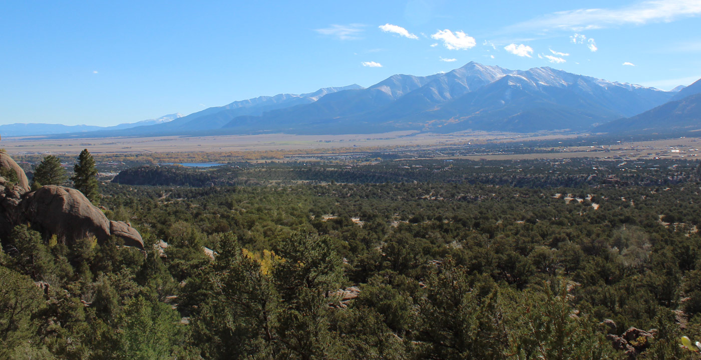
The Black Cloud Trail is a lesser known trail in Lake County that offers a spectacular mountain experience while getting away from the crowds.
For the most ambitious hikers, this trail is an alternative route to ascend Mt. Elbert (14,433’), the highest peak in Colorado. The trail ascends running adjacent to Black Cloud Creek as it approaches Mt. Elbert from the south. As one climbs, the views of La Plata Peak and it neighboring fourteeners to the south become awe-inspiring. At approximately four miles, it reaches a ridge near 13,500 feet, where one finally has the view of Mt. Elbert and the upper Arkansas River Valley far below. Continue on the ridge to “South Elbert” (a sister peak at 14,134’) before the final ascent to Mt. Elbert. All told, the hike is 11 miles round trip.
Directions: From the junction of State Highway 24 and Highway 82 (south of Leadville; north of Buena Vista), travel west on Highway 82 toward Twin Lakes and Independence Pass. Set your odometer at this point. The trailhead parking area is 10.5 miles on the right. You’ll pass the village of Twin Lakes and continue into the canyon. Slow down when you reach the 10 mile mark, because the entrance on the right is easy to miss. If you pass the Mt. Elbert Lodge, you have gone too far. The parking lot can hold 10-12 vehicles.


Get Deals, Discounts, Information and more, in your inbox!
 Printable Version