Current Temp. 52°
Discover
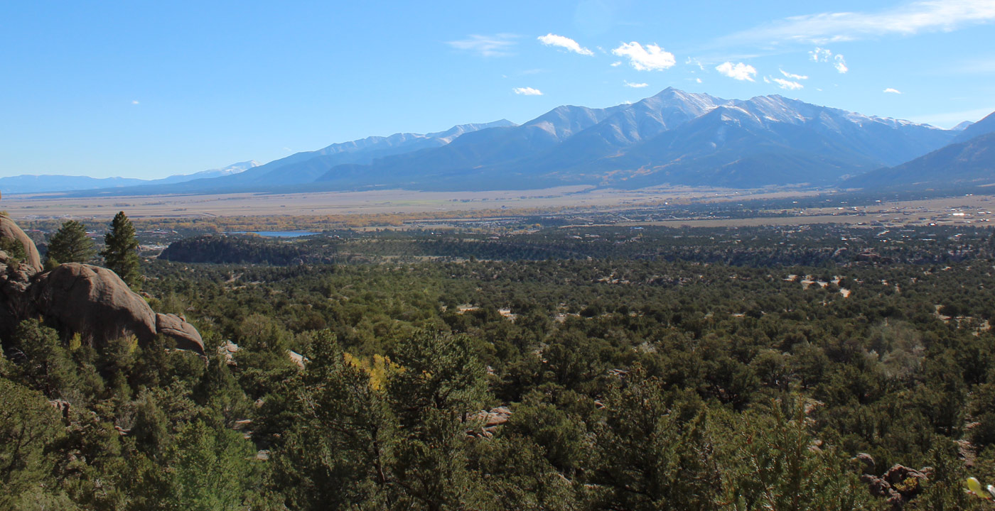
The Fourmile Travel Management Area is one of the most popular recreation areas for motorized and non-motorized travel in the Arkansas Valley. Located to the northwest of Buena Vista “Fourmile” comprises 100,000 acres of Forest Service and Bureau of Land Management lands. This area offers a wide variety of recreational opportunities including ATV & motorcycle riding, horseback riding, mountain biking, rock climbing, hiking, and fishing. There are approximately 200 miles of road and trails that are open to OHV riders, more than a dozen establish rock climbing areas, miles of gold medal fishing waters, and more hiking and biking trails than you will have time to enjoy. The Fourmile Travel Management Area has emerged as a shining example of how many different user groups are working together to enjoy and protect the land’s resources.
Directions from Buena Vista to the northern section of Four Mile: From the stoplight at Highway 24 and Main St, turn east on Main to Colorado Avenue, turn north follow out of Buena Vista. Colorado Ave turns into County Road 371, this will cross the river, follow to the intersection of 375, which is right before the tunnels. Turn east on 375 into the area. There are other access points along Hwy 285.
From Buena Vista to the southern section of Four Mile including Chinamans Gulch and Carnage Canyon routes. From light go South on Highway 24 to Highway 24/ Highway 285, go east through Johnsons Corner to County Road 301. Go south to the left access road on your left to gate and sign.
Map of Four Mile area available at GARNA MAP


Get Deals, Discounts, Information and more, in your inbox!
 Printable Version