Current Temp. 52°
Discover
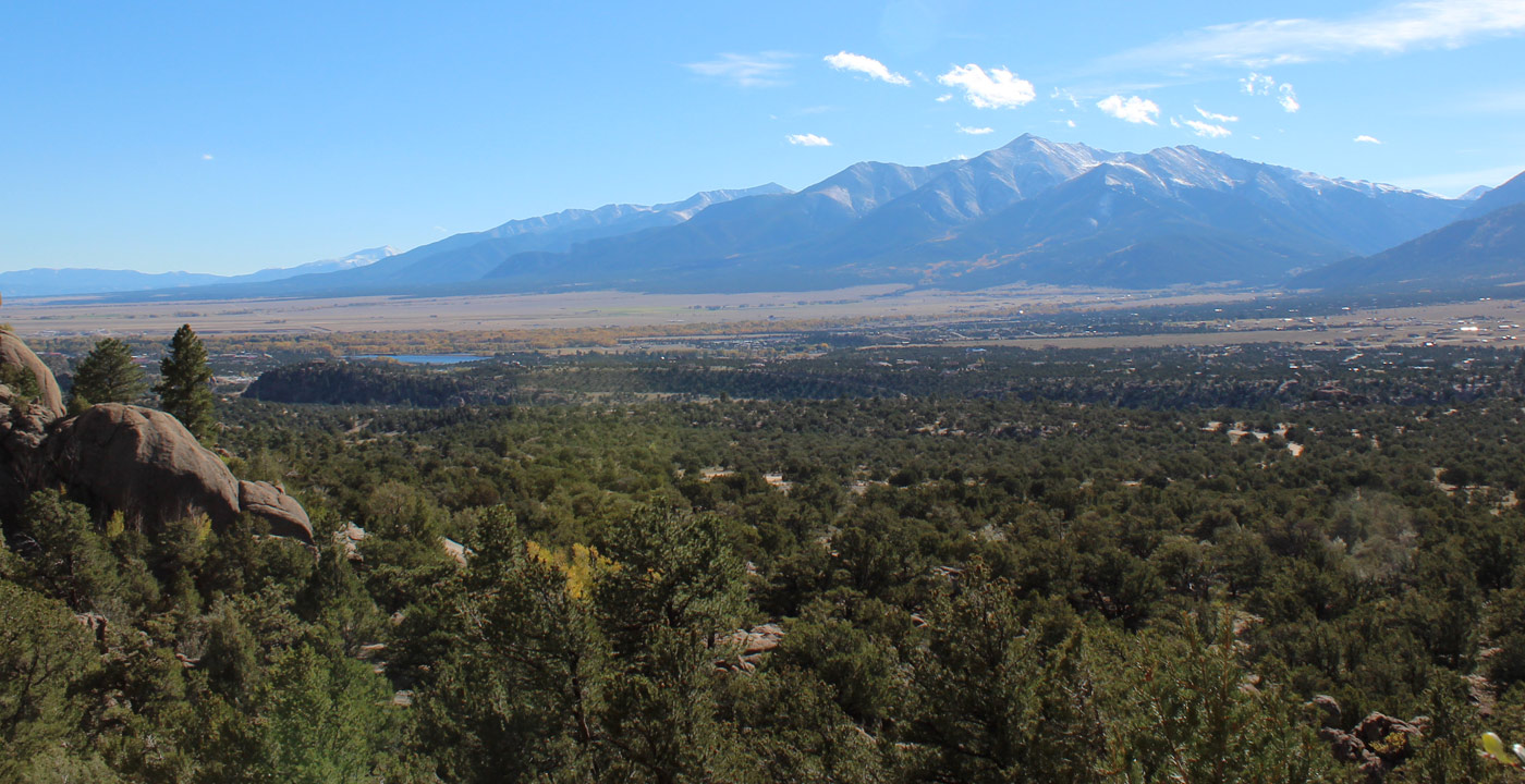
Mt. Columbia, altitude 14,077 feet, is one of five peaks in the Sawatch Range named after well-known universities.
Compared to neighboring Mt. Princeton and Mt. Yale, Mt. Columbia does not receive as much adoration. Located north of those respective peaks, one will notice the large “U” shaped ridge above timberline. In the back of the arc, the summit peaks its head subtly as the highest point. Many may also recognize the avalanche slides that look like six fingers on the mountains eastern slope just below timberline.
For those interested to hike to the mountain’s summit, the most common route is via the North Cottonwood Trailhead.
Directions: In Buena Vista, travel west on Crossman Avenue (which is County Road 350; north of the traffic light) for two miles and turn right on County Road 361. At about one mile, make a left on County Road 365. Drive toward the mountains and once inside the canyon, a 4WD vehicle is recommended. Continue on this dirt road for five miles to the trailhead at the end of the road. The trail ascends the canyon and leads to a junction: A left leads to Kroenke Lake, but hikers should stay right and continue toward Mt. Columbia and Mt. Harvard. The trail travels up Horn Fork Basin, where another spur trail splits, to the left to Mt. Harvard, and to the right to Mt. Columbia. Turn right and the trail provides much of the grueling elevation gain above timberline to the summit.


Get Deals, Discounts, Information and more, in your inbox!
 Printable Version